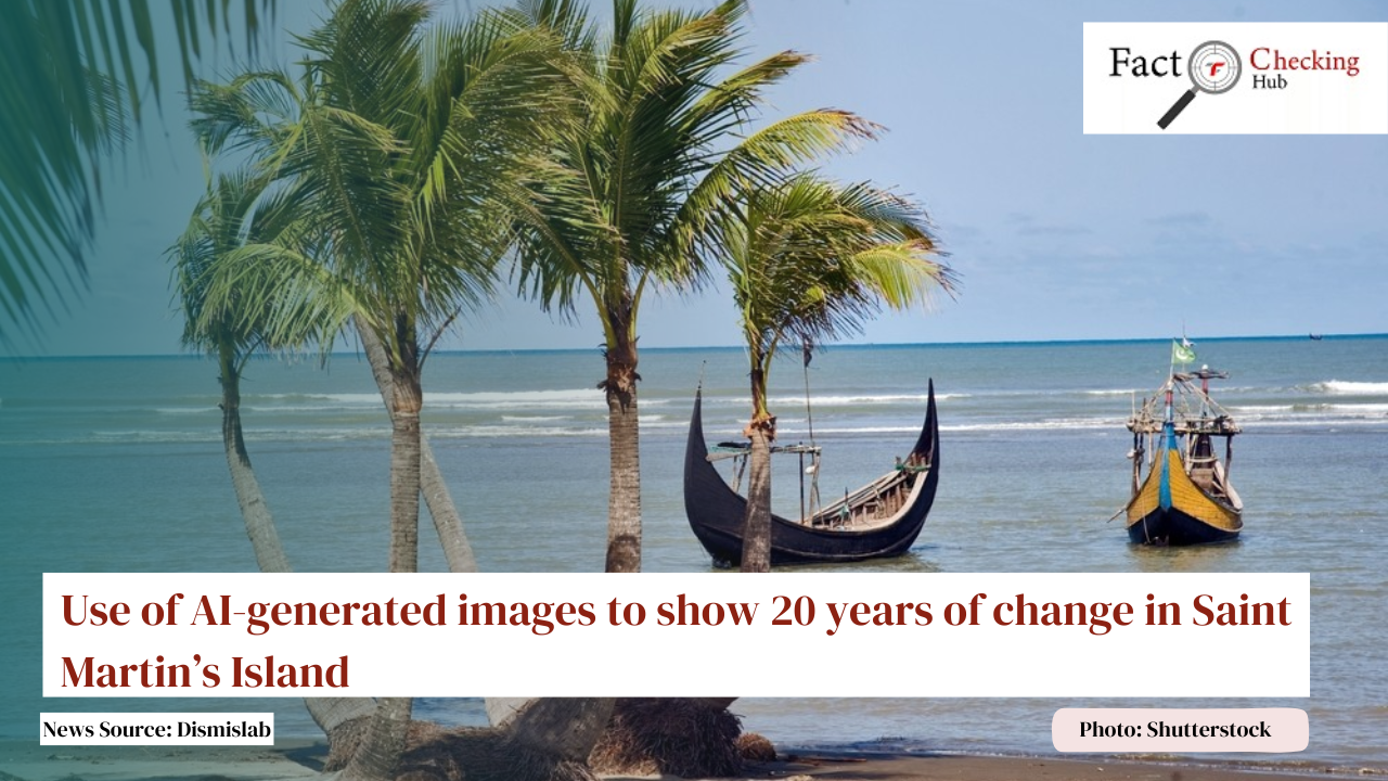
On May 14, an image of Saint Martin's Island circulated on social media, portraying a visual comparison between the years 2005 and 2025 to show the extent of environmental changes over two decades. The image suggests that in 2005, the island had no buildings and was covered with rows of open land and greenery, while in 2025, it appears densely built-up, with only a few open spaces and reduced vegetation. Although many online users considered the image to be authentic, verification by Dismislab confirms that it was generated using artificial intelligence.
The image was posted by a Bangladeshi travel agency called "Travel Tracker" on their Facebook page, which has 89,000 followers. The caption read: “Saint Martin is in decline after 20 years‼ Noticeable changes have occurred on the island—are they even positive? The Saint Martin of 2005 and 2025 seem worlds apart…” The Travel Tracker logo is visible on the right side of the image. Subsequently, several travel and tourism-related Facebook groups reposted the same image with similar captions. The purpose appears to be to highlight environmental transformation on Bangladesh’s only coral island over 20 years, using the two images as a visual comparison.
The caption on the Travel Tracker post attributes the image to someone named Saddam Hossain Lipu. A search of this name reveals a Facebook profile under the same name, from which a post was made on May 13 comparing two images of Saint Martin's Island from 2005 and 2025. In that case, the images were sourced from Google Earth. The satellite images available on Google Earth for those years bear a strong resemblance to the ones used in the circulated comparison.
However, discrepancies emerge when comparing the image posted by Travel Tracker to those found on Google Earth. For instance, in the 2005 image from Google Earth, there are two boat docks or jetties, while the AI-generated version shows only one. The Google Earth image also shows some buildings and structures, which are absent in the AI version. The trees beside the open spaces appear in a perfectly straight line in the AI image, unlike the more naturally scattered pattern in the satellite image.
Similarly, differences are visible in the 2025 images. In the AI-generated version, all the houses are of similar shape and design, with roofs in either orange or blue. By contrast, the Google Earth image displays structures of varying design, shape, and colour.
These inconsistencies confirm that the image portraying Saint Martin's transformation is not real but created using artificial intelligence technology. Dismislab verified the image using two separate AI image detection tools.
Original News Source: https://dismislab.com/media-literacy/use-of-ai-images-to-show-20-years-of-change-in-saint-martins/


তথ্যের স্বাধীনতা থেকে অপতথ্যের খাঁচায়

তথ্যের অপব্যবহার: সমাজ ও রাজনীতির ভয়াবহ বাস্তবতা

গণতন্ত্র বনাম গুজব: সত্য রক্ষার লড়াই এখনই

ভুল তথ্যের মহামারিতে এপ্রিল মাসের খতিয়ান

বাংলাদেশে ভুয়া তথ্যের ভয়াবহতা

যেখানে তথ্য থেমে যায়, সেখানেই গুজব জন্ম নেয়: ভুয়া তথ্যের রাজনীতি ও বিপর্যয়ের বিবর্তন


Fact-Check Alert
Please be aware of misleading information about Bangladesh politics on social media and verify sources before sharing.
Before sharing any photocard, always verify it by checking the original media source.
Sharing religious misinformation and disinformation can cause harm. Always verify before sharing.
Before sharing any photocard, always verify it by checking the original media source.
Sharing religious misinformation and disinformation can cause harm. Always verify before sharing.